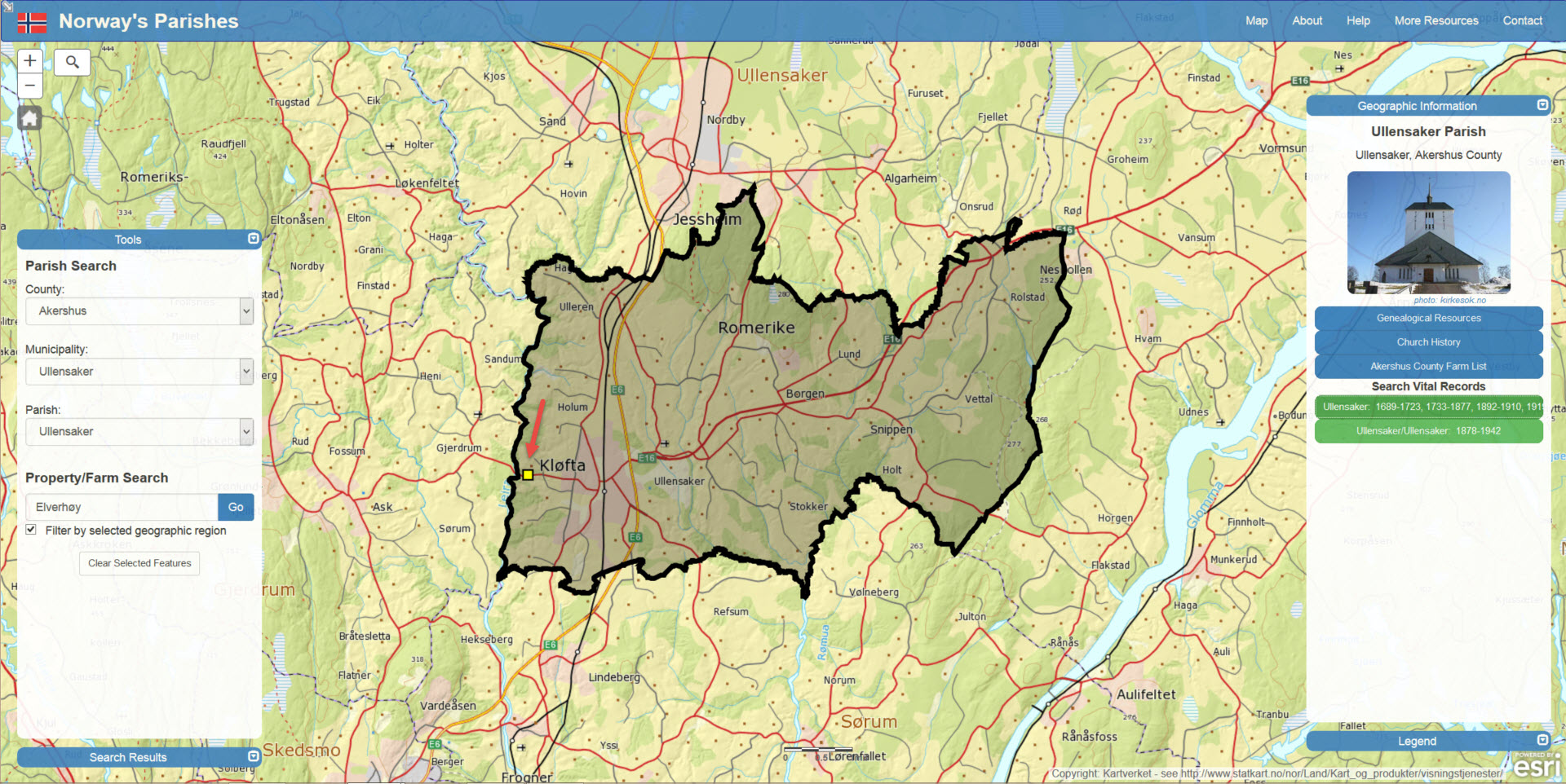
A brand new mapping tool, Norwayparishes.com
Monday August 3rd, a link to a new tool was shared on Facebook.
http://www.norwayparishes.com – Norway’s Parishes – I have tried it just for a couple of minutes, but it looks really useful.
I contacted Kristian Ekenes, the man behind the site, and asked if he could tell my readers about himself and the thoughts behind his mapping tool. What I did not know, was that Kristian is American, (ok Norwegian-American), so we will do this in English. This is what Kristian told me about himself:
About his interest in genealogy:
I first got interested in genealogy several years ago when I was studying at Brigham Young University working on my bachelor’sdegree. My dad has been avid in doing genealogical research for many years and he told me some of his stories and struggles in solving some family mysteries. That made me curious, so I signed up for an introduction to genealogy course at BYU. I loved it, so I decided to sign up for another course: Scandinavian Family History. It fascinated me. I was able to do research that helped my dad answer questions that he wasn’t able to for several years. It was very fulfilling.
Knowing the locations of where my ancestors lived is very important to me, and I believe it makes genealogical research easier and more fun when I can view my ancestors in geographic space.
I’ve always been interested in maps. While working on a geography minor in school, I discovered GIS (Geographic Information Systems) which is essentially the science of creating, storing, managing and manipulating spatial data – in short, creating digital maps. I was taking those courses simultaneously with my genealogy courses and was troubled by how hard it was to find and use historical maps for genealogical research, particularly in Norway. On my first week of school we were given a print gazetteer of parishes along with very basic maps with no parish boundaries. I didn’t find the maps particularly useful and wanted to find a way to do things more efficiently. I often wondered things like, «what exactly is a parish? Does it have boundaries? How big are they? How are they organized?» I knew that a better understanding of the parish would help me in my research, so I’ve been interested in learning the geography of Norway’s parishes ever since.After graduating, I began a master’s degree at Arizona State University, studying GIS. In the second half of my studies, I decided I wanted to specialize in Web cartography. After giving it some thought, I decided to create a web mapping application that allows people to easily search and view parish boundaries and farm locations in Norway. So that’s what I did! I obtained the data, did my research and created http://norwayparishes.com. It has evolved some since I first published it to the web, and I hope to continue to develop it to make it even more useful.
 I searched in the search tool to the left, and after a few seconds, the little yellow square showed where you can see «Kløfta» on the map (Kløfta is the closest town to where my mother grew up).


